SATISFACTION IS OUR PRIORITY
We are still a young, dynamic company with solid foundations built on the extensive practical experience of each member of our team in all the areas we operate.
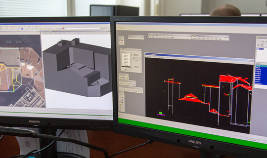
Our services include not only flight planning but also the actual collection and processing of photogrammetric and laser data. We can deliver the final output in a wide range of various formats and products. We utilize sophisticated technological procedures that ensure high quality and fully meet the needs of our customers worldwide.
For data processing, we primarily use proven combinations of applications from Bentley, Hexagon, IGI, nFrames, Terrasolid, Trimble, and Vexcel.
We have our own aerial equipment, including aircraft, digital aerial cameras, and laser scanners, enabling us to respond efficiently and flexibly to our clients' needs.
10 YEARS
in business

EXPLOREOUR MAIN SERVICES
We are dedicated to continuous innovation, pushing the limits of what can be achieved in photogrammetric data processing. Powered by our expert team and state-of-the-art technologies, we deliver a comprehensive range of high-quality services tailored to meet the evolving needs of our clients.
Aerial Photography
We plan and execute vertical or oblique aerial survey photography using our own Cessna aircraft, including the selection and measurement of ground control points. We work not only with standard RGB and NIR bands but also provide thermal and hyperspectral imaging.
Laser Scanning
We plan and perform both aerial and terrestrial laser scanning, including mobile terrestrial scanning systems. We georeference point clouds accurately and prepare them for further processing or deliver results tailored to your specific requirements.
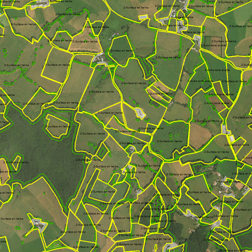
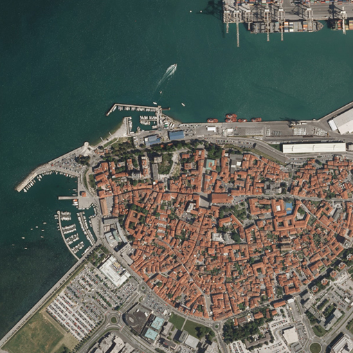
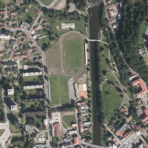
Orthophotomaps
We offer professional orthophoto and true orthophoto production at resolutions and quality precisely matched to your needs and specifications, not only in standard RGB and CIR outputs but also from historical or thermal imagery.
Aerotriangulation
We employ the latest methods utilizing automatic tie point correlation and GNSS/INS-determined projection centers within bundle adjustment workflows, including self-calibration of interior camera orientation parameters.
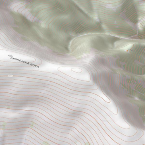
Dense Matching/DTM/DSM
We process Digital Terrain Models and Digital Surface Models through classical aerial image evaluation and classification of airborne laser scanning point clouds. We utilize Dense Matching technology within the SURE software.
GIS applications
We expertly visualize, analyze, and interpret your spatial data to clearly reveal important spatial relationships and trends. We produce high-quality raster and vector datasets fully compatible with your GIS systems.
OUR WORKPROJECT SHOWCASE
Our work is a guarantee of quality, reliability, and accuracy. We deliver precise processing of photogrammetric and laser scanning data.


VISUALISINGTHE WORLD
Through our high-precision orthophotos, digital terrain models, and laser scanning data with exceptional accuracy and detail. Explore the world with us — from the comfort of your home.
NEWSFROM OUR COMPANY
Fresh updates on what we're currently working on and what we've recently accomplished. Insights and highlights from the world of photogrammetry.

CONTACT
We are here to provide you with personalized and professional services tailored to your needs. Feel free to contact us by phone or email — or stop by and visit us in person.
Visit Us
Slavíčkova 827/1
638 00 Brno
Česká Republika
Write to Us
Call Us
+420 534 008 769
Billing Information
Company ID (IČ): 02402718
VAT ID (DIČ): CZ02402718