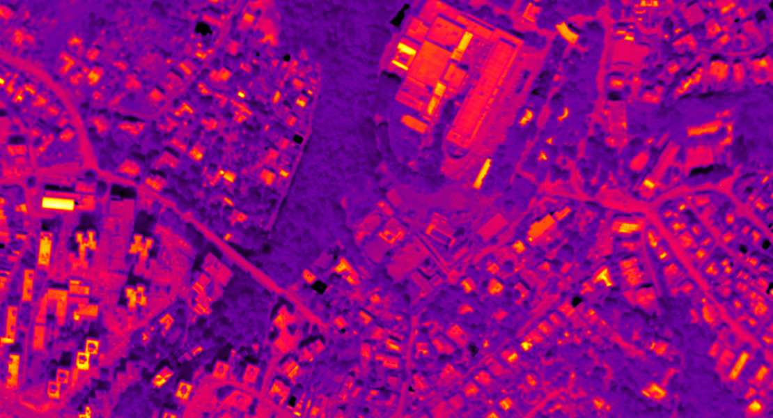
At the end of 2016 we took aerial photographs and produced a thermal orthophotomap of designated corridors in Bratislava. The aim of the survey was to monitor the impact of climate change in Bratislava.
Thermal imaging has a wide range of applications, mostly for determining heat losses in buildings (imaging of larger areas – e.g., a city, or determining thermal leaks in individual buildings), monitoring conurbations in tropical weather, the mapping and diagnostics of product pipelines and the monitoring of landfills, dumps, waste dumps, water works, dams, etc. The imaging process is relatively demanding in terms of the weather conditions – it is hampered by clouds and their shadows, wind, high soil moisture content or, in certain applications, vegetation or direct sunlight.
The weather currently has been characterised by a lack of precipitation, higher temperatures and drought, so the issue of heat islands comes to the forefront. This is a dominant phenomenon, especially for urban areas that show significantly higher temperatures than their surroundings. The aim of the imaging was to create a background that could be used to highlight this phenomenon.
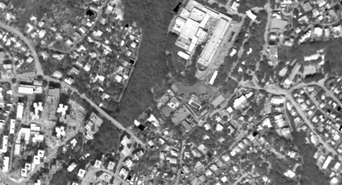
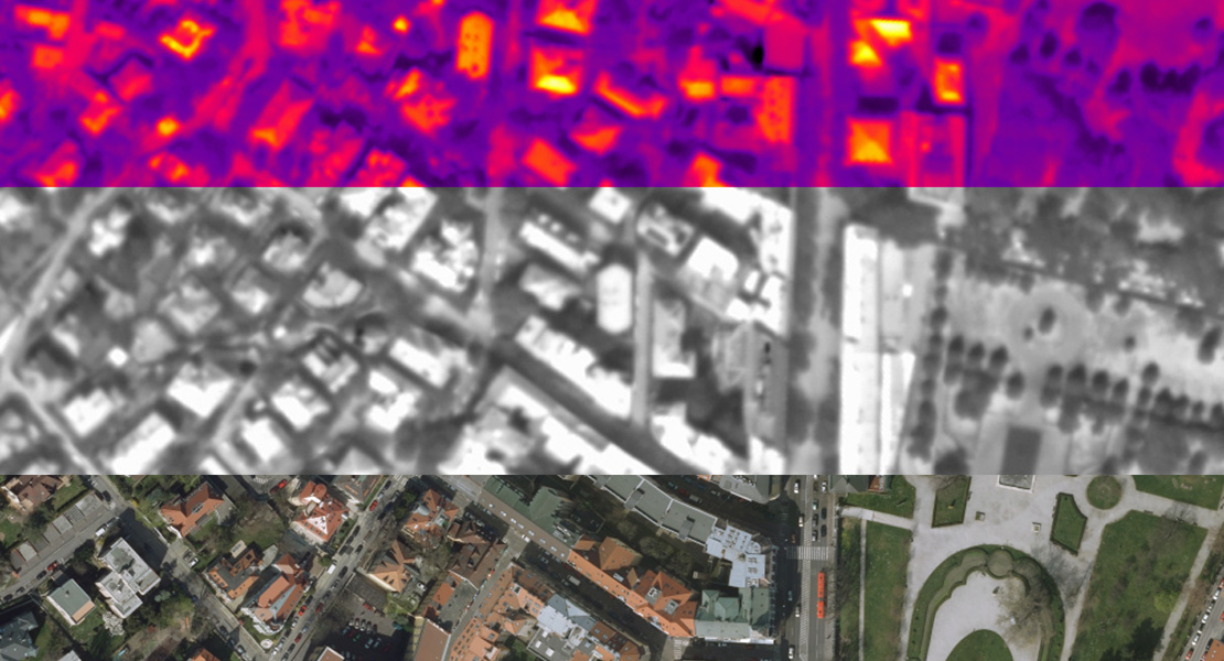
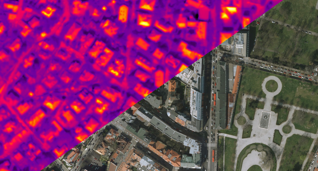
In this project we created a thermal orthophotomap at a resolution of 0.5 m in two RGB colour scales – the IRON (the temperature is represented by the colour range black-blue-violet-red-yellow-white, like iron as it heats up) and the GREY (256 shades of grey).
In order to improve spatial orientation in the thermal images, we also supplied an up-to-date orthophotomap of the city of Bratislava.