PHOTOGRAMMETRICMAPPING
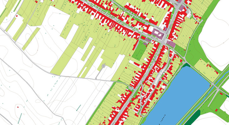
We can provide you with 2D and 3D mapping using conventional mono- or stereoscopic photogrammetric methods from aerial and terrestrial images.
We are able to arrange for cartographic outputs in various formats and standards. We ensure topological data purity and the linking of database attributes to mapped elements as a matter of course.
LET'S STAY IN TOUCH
We’re here to provide you with individual and professional services tailored to your needs. Don’t hesitate to contact us by phone, email, or visit us in person.