AERIALPHOTOGRAPHY
We can plan and use our Cessna aircrafts to conduct vertical or oblique aerial survey photography, including the selection and measurement of control points.
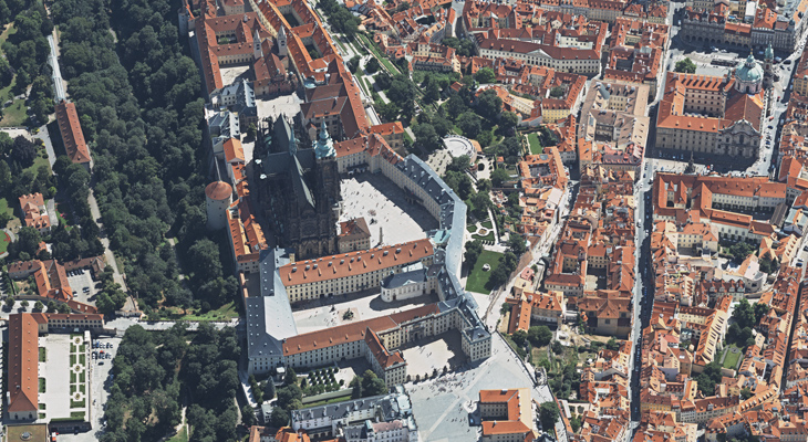
We are able to offer aerial photography not only in the standard RGB and NIR (CIR) bands, but can also take thermal and hyperspectral images, from piloted carriers as well as from UAV/UAS apparatus.
We make plans using the IGI Plan software and take our images using Vexcel UltraCam large-format photogrammetric cameras mounted in SOMAG gyro-stabilized mounts. The post-processing of aerial photographs is performed in UltraMap; GNSS/INS data are processed in IGI Aeroffice.
LET'S STAY IN TOUCH
We’re here to provide you with individual and professional services tailored to your needs. Don’t hesitate to contact us by phone, email, or visit us in person.