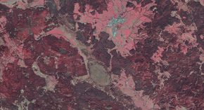
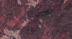
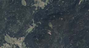
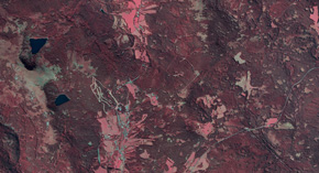
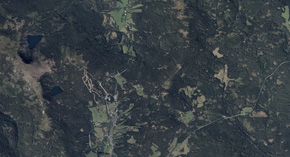
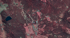
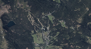
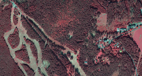
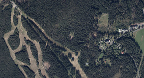
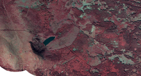
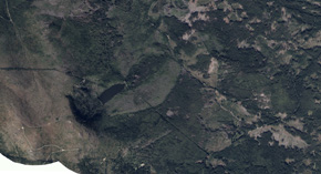
Since 2015, we have been processing multi-spectral images for the Administration of the Šumava National Park and creating orthophotomaps of the Šumava National Park and the Protected Landscape Area. Such a long continuous series of images allows us to multitemporally compare of sites and thus provides the Šumava NP Administration with an indispensable basis for observing the influence of external factors on the state of vegetation. These factors undoubtedly include the avalanche spread of the bark beetle calamity as well as global climate change that has a significant impact on precipitation totals in the whole area.
The images are taken in 60% longitudinal overlap and 30% transversal overlap (± 5 %) with a resolution down to 0.2 m. The orthophotomap is delivered in three variants. In 1: 2000 map sheets with 0.2 m resolution and then in re-sampled form in 1: 5000 map sheets in two resolution variants – 0.5 m and 1 m.
All products are delivered in the S-JTSK/Krovak East North coordinate system and in the Bpv height system. New for 2019, we are offering the product transformed into the German coordination system – Deutsches Hauptdreiecksnetz (DHDN, EPSG 31468) – so as to ensure better cooperation between Šumava NP Administration and the Nationalparkverwaltung Bayerischer Wald.


