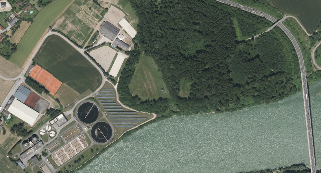
This long-term project to survey Austria involves not only supplying aerial survey photographs with the relevant metadata and digital orthophoto at 20cm per pixel, but also the flight plan, aerotriangulation including control points, and quality control. The project for the Austrian BEV is repeated in three-year cycles.
The images are taken with 80 % longitudinal overlap and 45 % transversal overlap at 20 cm per pixel. The orthophotomap is supplied in RGBI format, 16 bit, in map sheets in the scale of 1 : 2000.
Within the first three-year block, which was realized in the years 2016-2018, we covered an area of 24,170 km2, namely with more than 50 thousand aerial photographs.
The next three-year cycle is planned for the years 2019-2021. Within the project we process one of the four parts into which the entire territory of Austria is divided. Over the course of these three years, we will take and process over 65,000 images of the territory covering an area of approximately 24,000 km2.
In 2019 we took photographs and processed the area around Steyr, Wolfsberg and Innsbruck with a total area of 8,450 km2. In 2020 we plan to work near Linz and Mariazell and in 2021 we will focus on Graz and Tamsweg.