
The DTM SŽ – the Digital Technical Map of the Railway Infrastructure – is a project initiated by the Czech Railway Administration (Správa železnic) with the goal of digitising and centralising technical and engineering data related to the country’s railway infrastructure. The aim is to create a unified digital map of the railway network that provides clear and up-to-date information on technical components such as tracks, switches, platforms, bridges, and other railway assets.
As part of a consortium of contractors – GEFOS a.s., HRDLIČKA spol. s r.o., GEOŠRAFO s.r.o., and PRIMIS spol. s r.o. – our role is to deliver, through combined aerial imaging and laser scanning, the primary and reference data for over 7,800 km of railway tracks across the Czech Republic. We are also responsible for surveying control and check points, which, together with the ŽBP (Railway Geodetic Control Network) points, are essential for further data processing.
In each phase of the project, in addition to aerial images, aerotriangulation, and classified point clouds, we generate a digital terrain model (DTM) and a digital surface model (DSM) in GRID format at a 0.2 x 0.2 m resolution. The final output for each track section is a true orthophoto with a resolution of 2 cm/pixel.
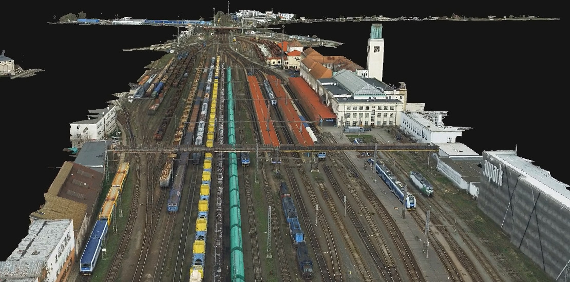
The short videos below show 3D mesh samples from the project. The first video features the Hradec Králové railway station, while the second shows a section from the Jaroměř station.
Ukázka 3D meshe z nádraží v Hradci Králové
Ukázka 3D meshe z nádraží v Jaroměři
You can find more details about the Digital Technical Map of the Railway Infrastructure in our Projects section – DTM SŽ.