
Satellite and aerial imagery reveal damage to forests caused, for example, by bark beetle infestations. However, remote sensing is becoming increasingly important not just for assessing damage, but also for guiding the restoration of forests into climate-resilient mixed woodlands. One such research project focused on aerial forest monitoring is currently underway in the Arnstein Forest Enterprise in Lower Franconia, Bavaria. In recent dry years, thousands of beech trees have died there, creating an urgent need not only for data to assess the extent of damage, but also for insights that can support long-term reforestation.
Much of the necessary data comes from Sentinel-2, a satellite of the European Copernicus space programme. Sentinel-2 flies over Bavaria every five days, capturing images of the Bavarian landscape and its forests. In the future, this data will be increasingly analysed using artificial intelligence. However, individual trees or tree species cannot be distinguished on satellite images—this is where the closer view from an aircraft becomes invaluable.
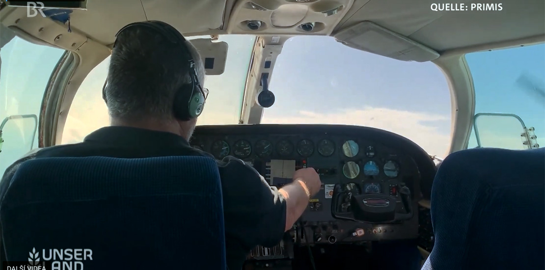
To support the project, one of our aircraft was deployed over Franconia to map forest damage. During the flight, aerial survey images were captured in both the RGB and NIR bands, along with LiDAR data that was used to generate a detailed 3D model.
Take a moment to fly over the Bavarian forests and look over the shoulder of our aerial survey pilot in the video below (starting at 2:58).