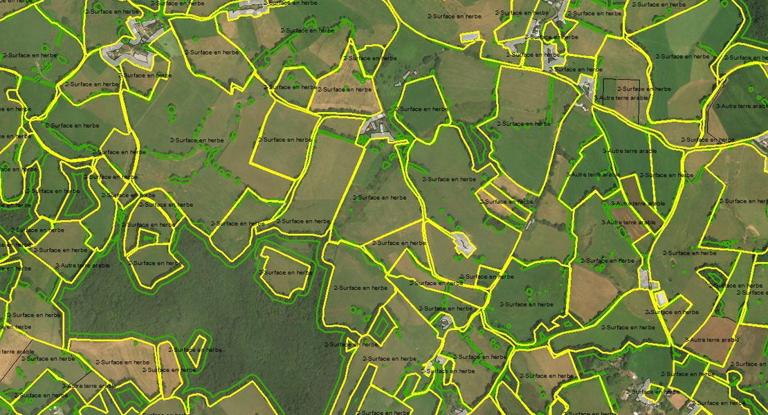
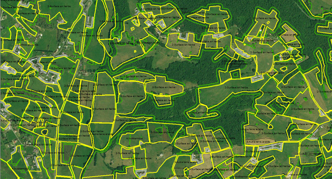
During the first half of 2015 we worked together with CleverMaps and Ekotoxa to specify the boundaries of almost 50,000 km2 of cultivated land in France.
The aim of the project was the subsequent automation of the management of agricultural subsidies in France, which is the largest beneficiary in the EU. As part of this project we digitised and updated not only the boundaries of agricultural land blocks on the basis of aerial photographs, but also the vegetation and built-up areas inside the land plots and within a distance of 20m. These data are intended to serve as a direct source for farmers’ applications for agricultural subsidies under the LPIS (Land Parcel Identification System). The maps needed to be updated due to the new rules for the EU Common Agricultural Policy, which apply from 2015.
The project involved more than 300 operators, mostly university surveying and geoinformatics students and experts in geographic information systems.
We launched the project, which was worth one million EUR and divided up into a total of three phases, in November 2014 and celebrated its successful completion in June 2015.