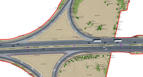
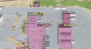
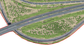
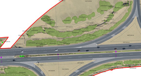
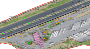
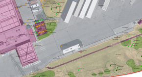
The main output of the passport for accompanying vegetation of the D5 motorway is formed by a database containing not only all vegetation within a distance of about 40 m of the motorway axis on both sides (28.5 - 80 km section of the motorway), but also technical devices in predetermined areas of the most detailed mapping level.
Besides the documentation of the accompanying vegetation itself, the output database can be used, thanks to embedded attributes such as inclination and height of the element, as a basis for determining the intensity of vegetation maintenance (mowing grass) or for calculating the probability of the fall of tall trees onto the motorway body.
The basis for the database processing was formed by a basic map of the motorway, aerial surveying in a resolution of 3-5 cm on the ground, aerial laser scanning with an average density of 25 points per square meter and also the data collected directly in the field, where we co-operated with dendrologists. These were followed by the measurement and calculation of analytical aerotriangulation, georeferencing and processing of aerial laser scanning data, stereoscopic mapping to create data for the geodatabase compilation and resulting tables of greenery passport in the corresponding detail classes. The accompanying outputs consisted of a 5cm orthophotomap and a digital surface model.
The database of vegetation elements then contains not only the geometrical determination of the element's position by either centroid (trees) or perimeter (e.g., shrubbery, grassy areas, forests, etc.) but mainly metadata describing the individual attributes of mapped elements such as crown diameter, type of tree or area.
The data were collected in three levels of detail – basic (character and statistics for individual sections), detailed (description of individual elements of interest – lawns, vegetation and technical elements, groups of trees, etc.) and very detailed (based on a comprehensive description of individual technical and vegetation elements including proposed interventions in vegetation, photographs and accompanying organisms in trees).
We realized the whole project in co-operation with Geodetická kancelář Nedoma a Řezník, s.r.o. After successful completion of the passport for the D5 motorway we are now participating in the passports for certain sections of the D0, D1, D3 and D52 motorways with a total length of about 300 km.


