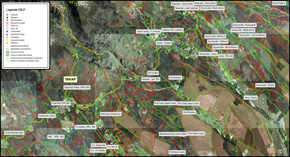
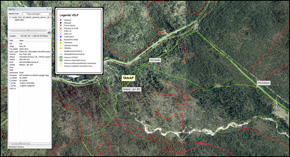
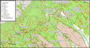
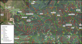
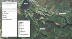
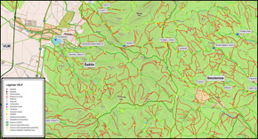
In spring 2016 we created vector data for a database of special forestry features for Surveye, our partner company. The database of vector special forestry features contains the boundaries of organisational units, including all relevant details such as barriers on forest tracks, water sources and the contact details of responsible officials, and thoroughfares, including forest and field tracks.
The primary emphasis was on correctly interpreting the routes of forest and field tracks for access by fire-fighting vehicles. Therefore, besides the vector database, the project also included the creation of a digital terrain model, which we then used to compute the slope of the terrain and thus the longitudinal inclination of the tracks. We then created an orthophotomap and topographic map.
The area of interest covered a total of 6,800 km2; the vector database was created in ArcGIS. The data were submitted in the S-JTSK and UTM34 coordinate systems.


