The historical development of the landscape is important in terms of monitoring the changes in the landscape sphere. Historical archives all over the world keep historical images which can be processed with modern technologies, and so new and interesting information can be obtained about the historical development of the respective area.
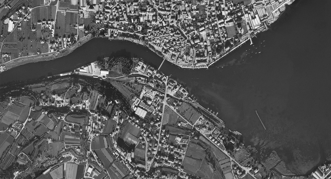
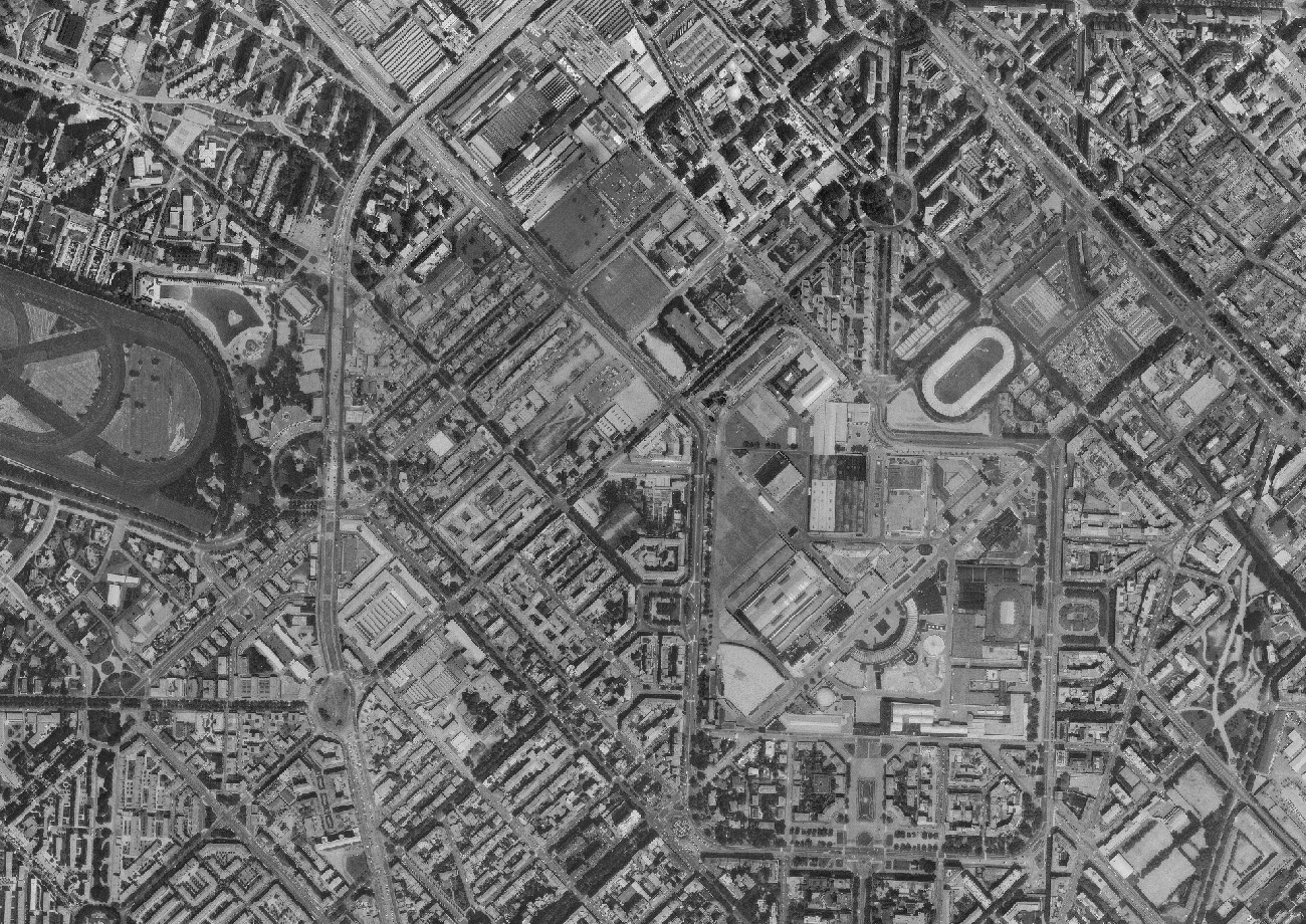
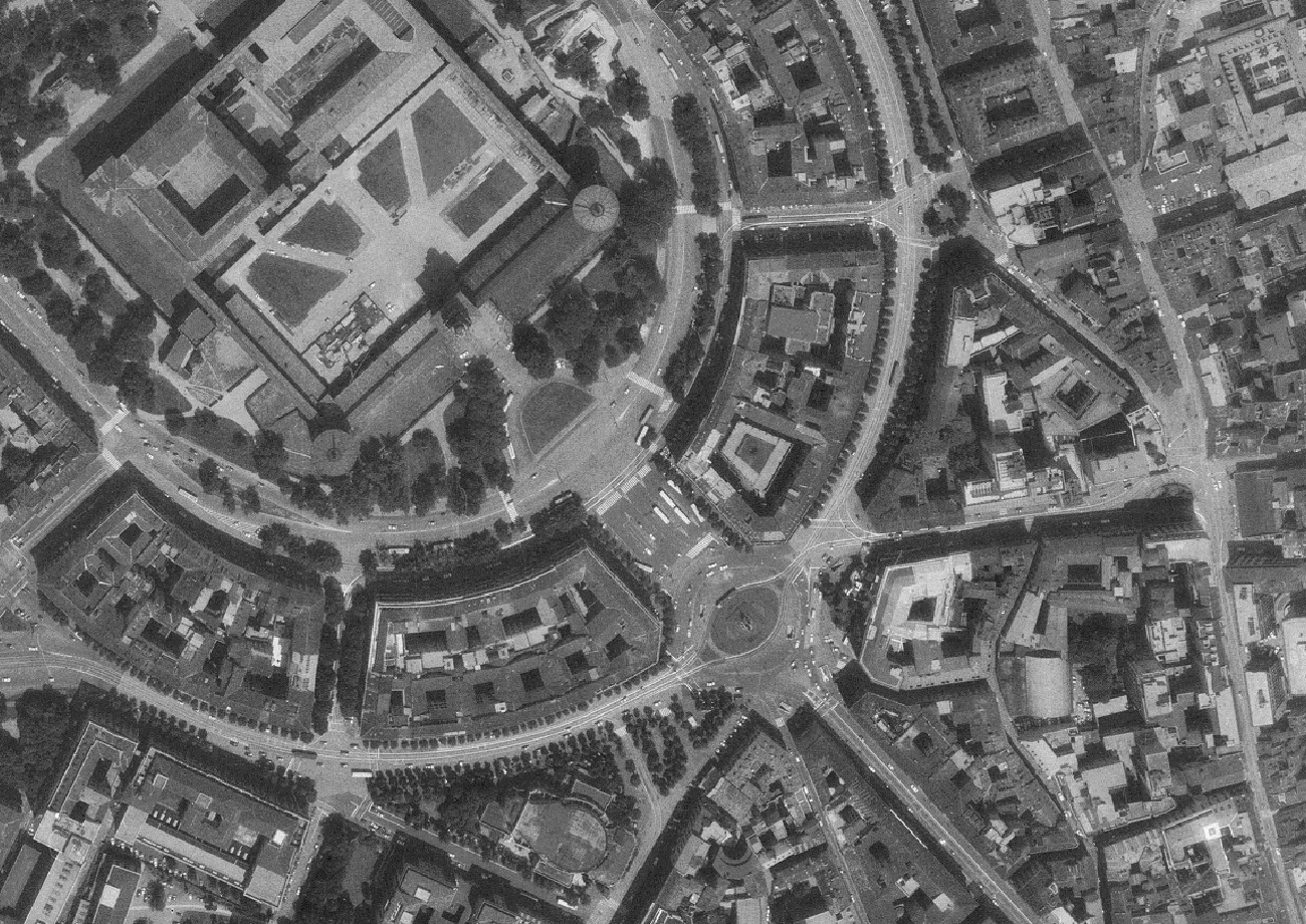
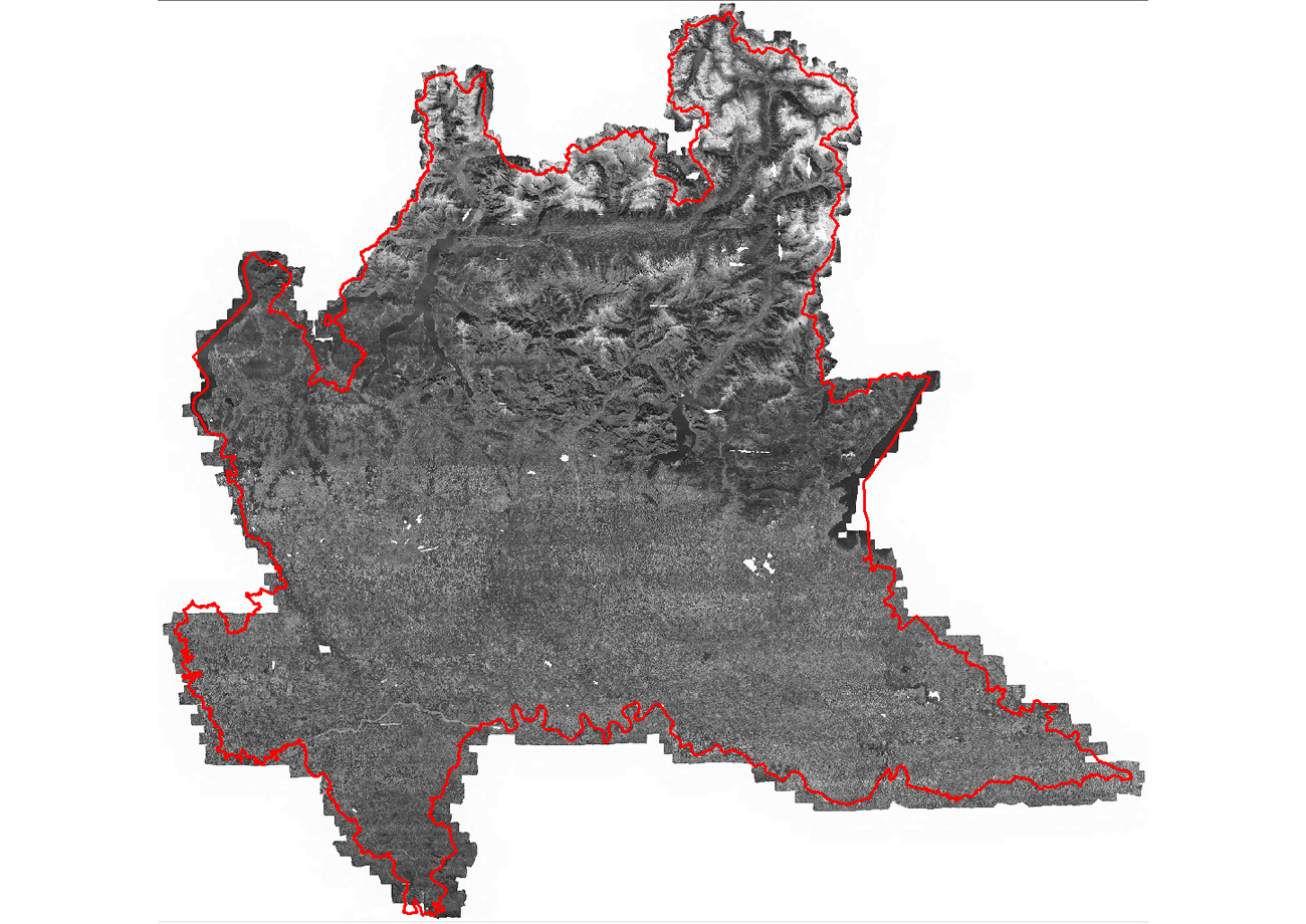
Throughout 2015, we processed a historic orthophotomap (from 1975) of the Lombardy region in Italy. The project also included the scanning of 10,922 aerial photographs. Lombardy covers an area of almost 24,000 km2, and our goal was to create a historical orthophotomap of the entire territory, including a five-kilometre wide buffer beyond the borders, for the purposes of monitoring the development of the landscape and landscape features.
A total of 10,659 historical aerial photographs were delivered on 43 rolls, a further 263 pieces were delivered as cut slides. We scanned the images using the Vexcel UltraScan 5000 scanner, fitted with an Autonomous Rollfilm Unit (AFR), while cut slides had to be scanned manually. Preparation of one roll for scanning took up to 6 hours, depending on the necessary mechanical corrections and film contamination with old adhesive from the tapes, which were used to connect individual parts.
For easier aerotriangulation, the territory was divided into 17 smaller blocks, which were subsequently preserved also for the orthophotomap creation. The boundaries of the blocks were created in relation to the terrain, but also to the original flight series and the arrangement of images on the rolls. Longitudinal overlap between the images was about 60%, transversal overlap between rows was 0-20%.
The resulting orthophotomap has a resolution of 30 cm per pixel.