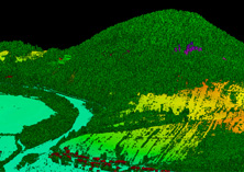
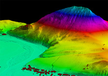
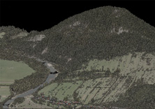
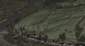
The project involved taking and subsequently processing non-vegetation aerial LiDAR data and simultaneously taken 16-bit RGB+NIR aerial survey photographs of the Polish Pieniny national park, covering an area of more than 57 km2 and with a terrain elevation higher than 500 m.
The data were collected during a series of 36 strips with 60 % longitudinal overlap and 60 % transversal overlap for the imagery with the resulting average density of the first and only echo being 28.9 points per 1 m2 and an average image GSD size of 5 cm.
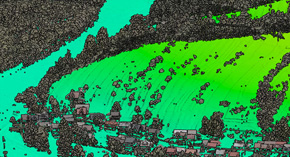
After performing the AT of the aerial photographs and after precise alignment and georeferencing of the LiDAR data, the point clouds were classified into 9 classes and coloured using the RGB channels from the images we had taken. Another product was the creation of an interpolated DTM and DSM in the form of a regular point grid with a spacing of 0.5 m.


