Taking photographs of Košice city centre was realized as a part of the European initiative "SURGE: Simulating the cooling effect of urban greenery based on solar radiation modelling and a new generation of ESA sensors", funded by the European Space Agency (ESA). The data acquired within the project were used to simulate the effect of urban greenery, to model solar radiation, and to design a new generation of ESA sensors.
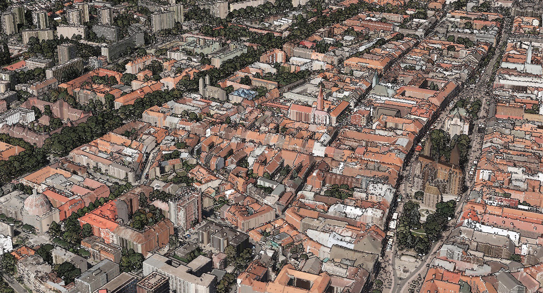
The aim was to acquire aerial LiDAR data and survey RGBI images of the centre of Košice during the vegetation season, namely territory covering an area of 4.5 km2. The density of LiDAR points was 40-50 points/m2; GSD of aerial survey RGBI images was 10 cm. The data were collected in two separate stages, separately for LiDAR (Leica ALS70-CM; 9+9 perpendicular flight series) and separately for aerial surveying (Vexcel UltraCam Xp; 3 flight series), namely during August and September 2016.
Based on these inputs, a 3D model of buildings was created with LOD 2 (Level of Detail) and 16bit RGBI orthophotos with resolution corresponding to 10 cm GSD. After aligning and georeferencing the laser data, the points were classified into 7 classes and based on the points in the class 6 – "roofs of buildings" and in the class 2 – "terrain" a 3D vector model of buildings was created. This method of 3D modelling of buildings was supplemented by a stereoscopic photogrammetric method from the images taken.