
In the first days of spring, more precisely on March 25th and 26th 2021, Primis has managed to complete aerial survey of Vienna. The total scope of image flight covers an area of 586 km2, which, at 6 cm pixel size, means almost 6000 aerial images. These images take up 22 TB of disk space.
The Vienna City Council took the opportunity and made nice promo video, to present the project to the city residents, which you can watch at https://www.facebook.com/watch/?v=491921438839122.
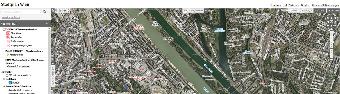
In this particular case, aerial survey is used to keep the multi-purpose digital city map and 3D model up to date. The multi-purpose digital city map is than very important basis for urban planning.
Primis is definitely not idle in the spring, and in addition to Vienna, we managed to acquire aerial images of the other three major European cities - specifically Prague and Bratislava in 5 cm and Berlin in 20 cm pixel.