")
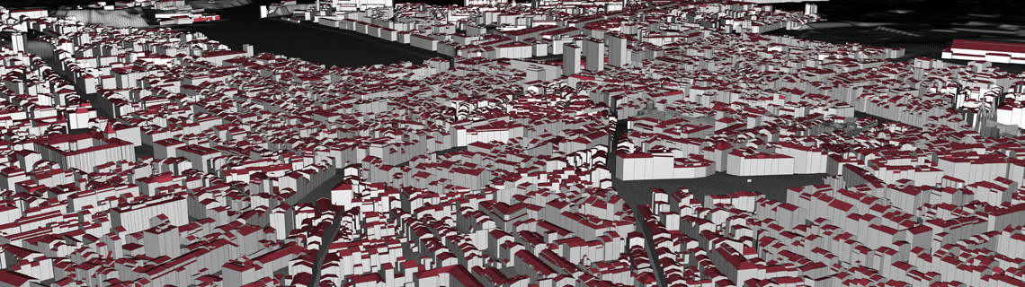
We can plan and use our own equipment for aerial and terrestrial laser scanning, including scanning from mobile mapping facilities.
We are able to correctly place laser point clouds in the geospace and prepare them for further processing (e.g., 3D mapping), or do the mapping for you ourselves.