Oblique Aerial Survey – Paris Orly Airport
Paris Orly Airport (Aéroport de Paris-Orly) is the second largest airport in Paris, after Charles de Gaulle. Located approximately 13 km south of the city center, it primarily serves domestic and European flights. The airport has two terminals and boasts a long history, having been opened in the 1930s. Today, it operates as a key hub for both low-cost and traditional airlines.
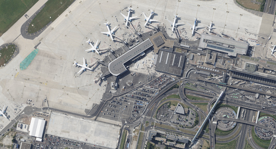
In July 2024, we carried out an oblique aerial imaging project of Paris Orly Airport for our French partner, using the state-of-the-art Vexcel UltraCam Osprey 4.1 aerial survey camera. The survey was conducted at a resolution of 6 cm/px, capturing a total of 1,260 images. Thanks to advanced technology and carefully planned flight paths, we were able to capture the airport with an exceptional level of detail.
The flight, which lasted approximately 2.5 hours, was conducted under optimal lighting and weather conditions, ensuring high-quality image outputs. The combination of oblique and nadir images allows for a detailed analysis of both horizontal and vertical features—essential for supporting efficient air traffic management, infrastructure optimization, and safety assurance.